


Tropical Storm Fernand formed Saturday in the Atlantic Ocean and is moving away from the United States.
Tropical Storm Fernand has strengthened with maximum sustained winds now reaching 60 mph as it continues moving away from Bermuda in the Atlantic Ocean.
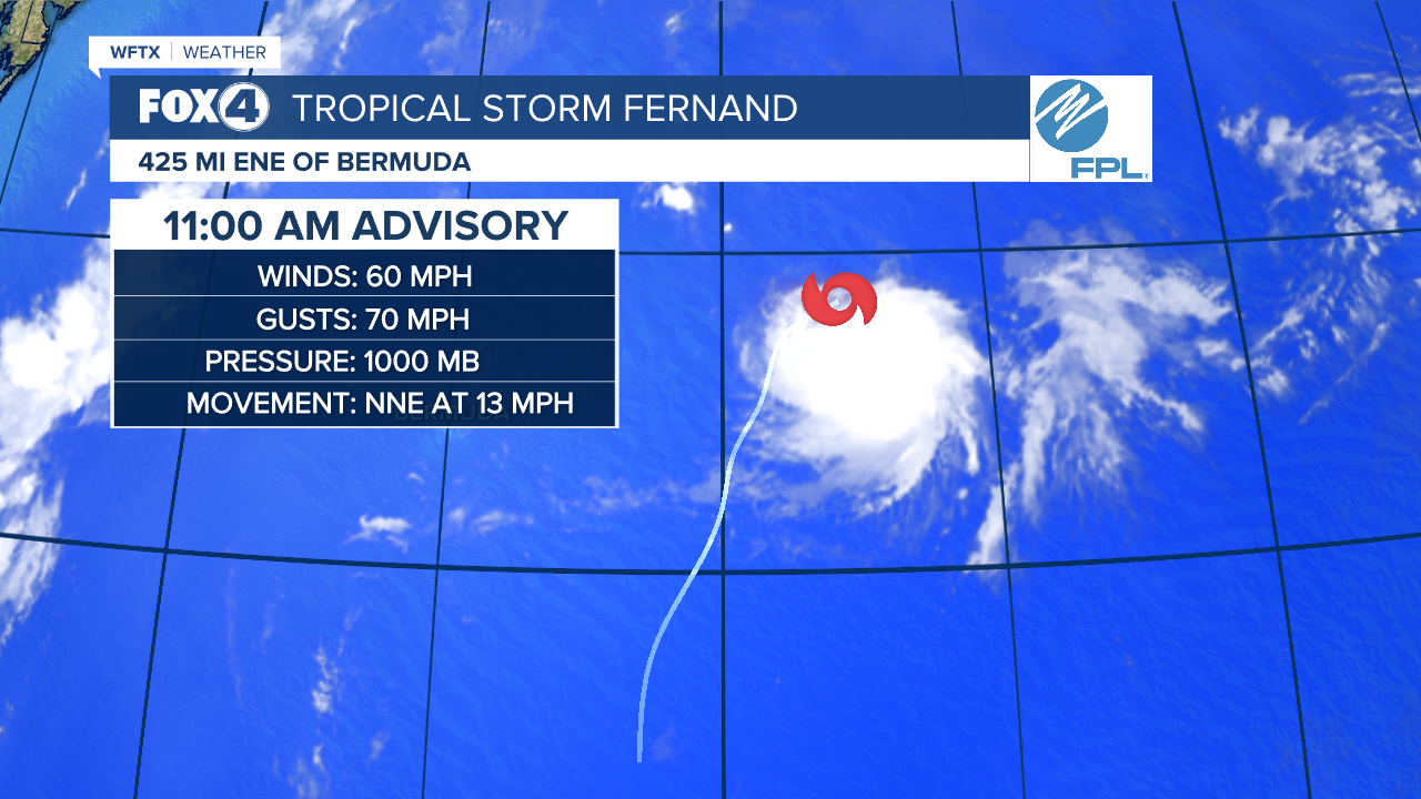
The storm was located 425 miles east-northeast of Bermuda as of 11AM and is moving north-northeast at 13 mph, according to the latest advisory.
NHC expects Fernand to maintain this trajectory for the next day or two before turning northeast. The storm's projected path keeps it over open waters of the subtropical central Atlantic, well east and northeast of Bermuda.
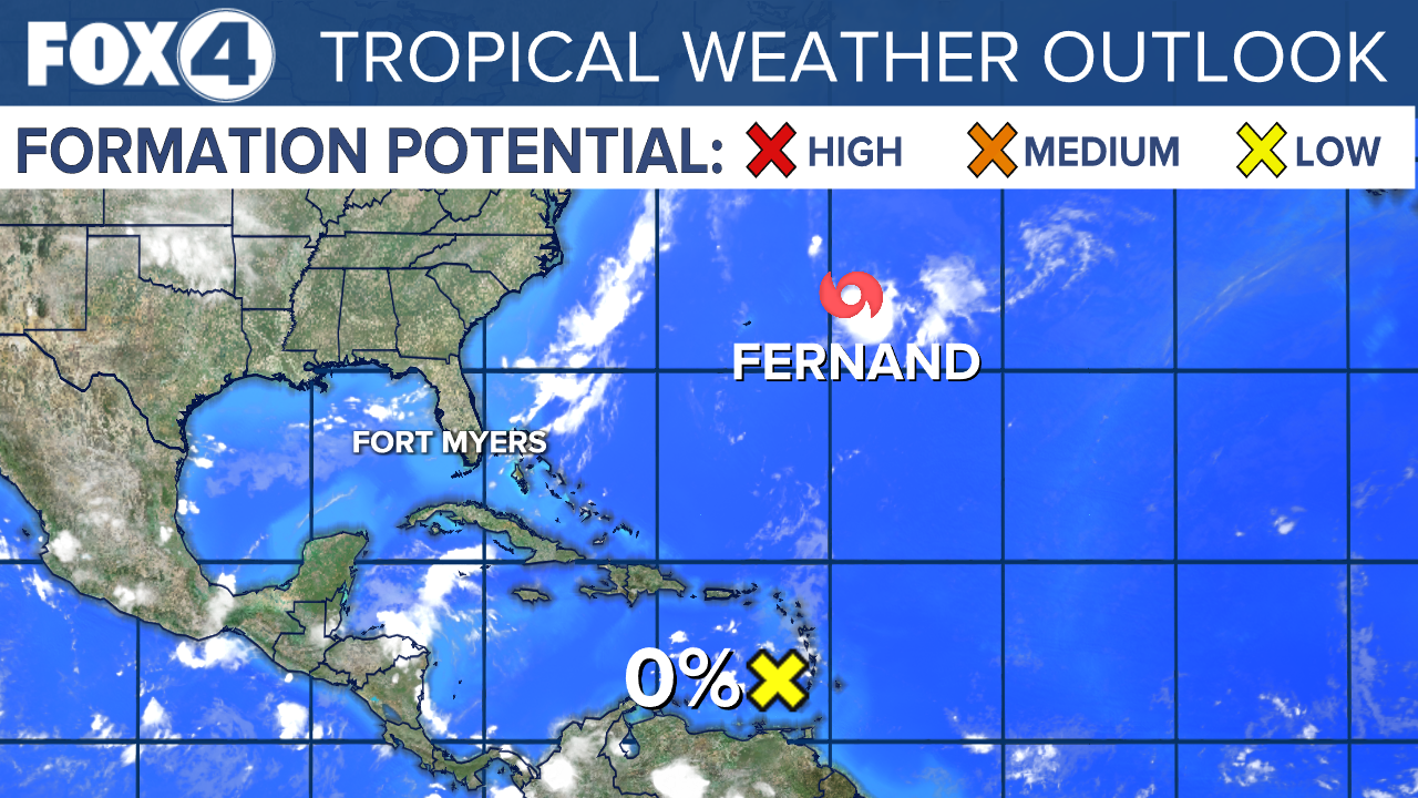
Meanwhile, NHC is monitoring a tropical wave over the eastern Caribbean Sea that is producing disorganized showers and thunderstorms. This system has become less organized since yesterday, and further development is not anticipated as it moves quickly westward during the next few days.
