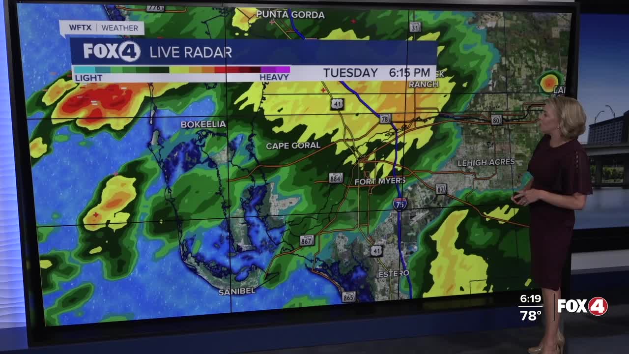


Here is your forecast for Tuesday, August 19th, 2025.
Showers and storms are starting to wind down and should clear out by 10pm. Overnight, clouds clear out and we'll wake up to sunshine and mid to upper 70s.
Get ready for a brief break from the wet weather. As Erin continues to move northward and eventually northeastward, Florida will be on the subsidence side of the storm, meaning dry, sinking air, lower instability and overall lower rain chances. We'll have a few showers and storms in the afternoon, but they will be isolated with rain chances to 30%. Temperatures will stay hot in the mid-90s, feeling more like 100-105°.
For the latest on Erin and two other waves in the Atlantic, CLICK HERE.
However, this is short-lived as moisture returns on Thursday, starting in the morning. A wind shift out of the west will bring SWFL earlier scattered rain, starting as early as the morning commute. This pattern for both morning and afternoon showers will be possible through the rest of the work week.
FOX 4 EVENING METEOROLOGIST KATIE WALLS
If you don't already have our Fox 4 mobile app, you can download it here.
