

Here is your forecast for Thursday, July 3rd, 2025.
Scattered downpours are likely this evening and overnight. If you're out and about, keep umbrellas on standby.
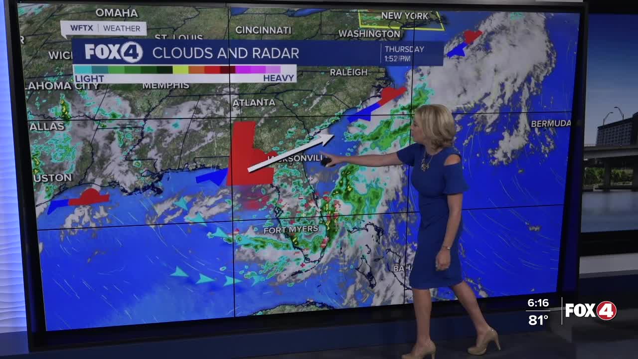
Wet weather is likely for the holiday. A stalled front to our north will keep deep tropical moisture overhead, but as that area of low pressure moves away from FL toward the Carolina coast, our rain chances will gradually improve through the weekend, returning to a more typical rainy season pattern.
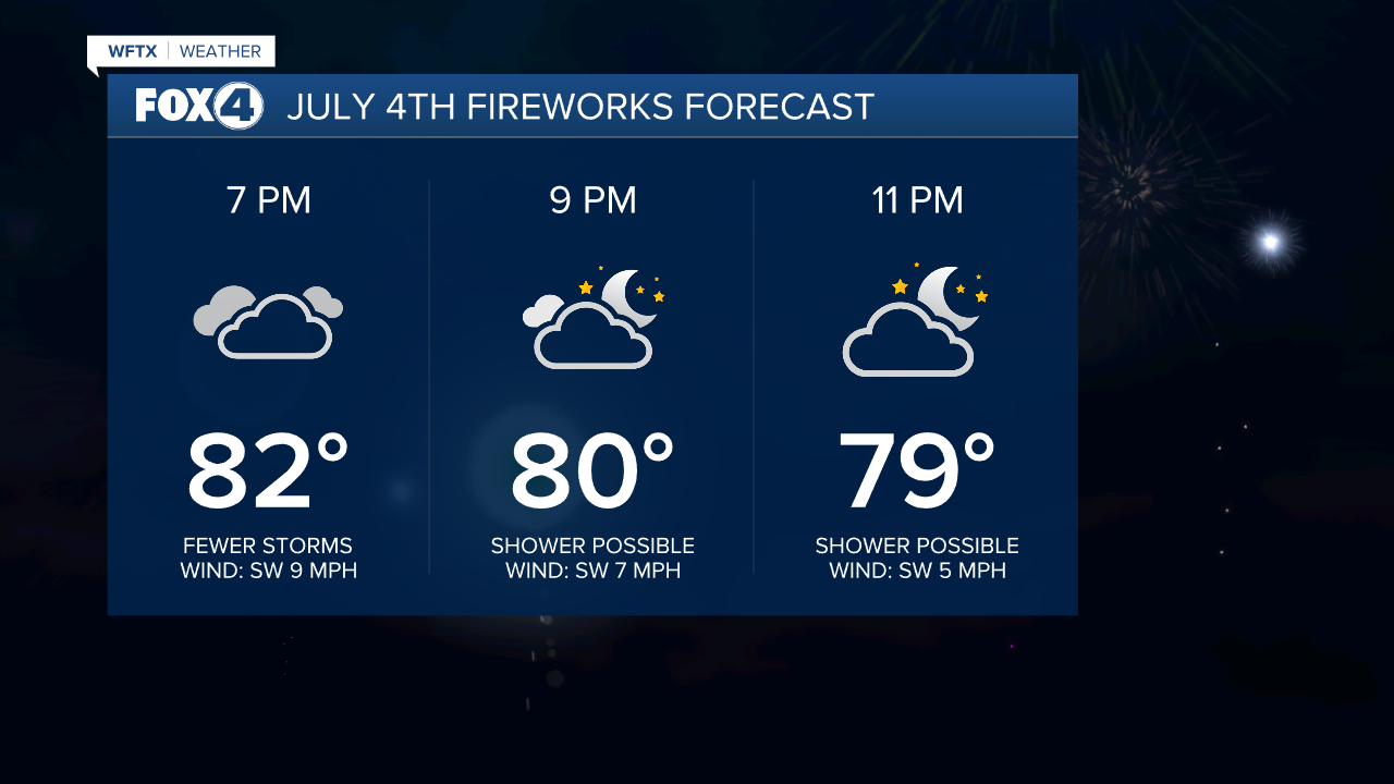
For your July 4th, rounds of heavy rain and lightning will remain our primary concerns with minor flooding possible. An additional 2-5" are possible through Saturday.

With more clouds and rain, temperatures won't be as hot, however. Highs will run in the mid to upper 80s.
After 6pm, storms are expected to become more isolated and be few and far between. Big improvements for fireworks displays!
On Saturday, as the low pulls away, storm chances will decrease to 60%. By Sunday, the pattern returns to our more typical summer day with morning sunshine and afternoon storms.
FOX 4 EVENING METEOROLOGIST KATIE WALLS
If you don't already have our Fox 4 mobile app, you can download it here.
