

Here is your forecast for Tuesday, August 26th, 2025.
As expected, with more clouds and rain impacting our northern communities, temperatures ranged from a high of 81° in Punta Gorda to 92° in Naples, where we had more sunshine.
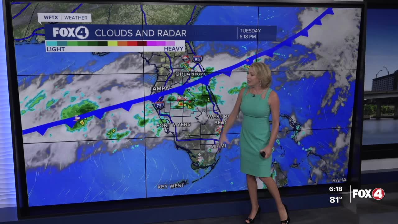
This evening, expect mostly cloudy skies with a 20% chance for a passing shower. Overnight, clouds will partially clear.
I am optimistic that we'll have more sunshine for Wednesday, which will ultimately help warm temperatures into the lower 90s. Factor in the humidity it will feel more like 100-105°. Winds will be light out of the west between 5-10 mph.
Isolated showers will be possible along the coast in the morning. We'll maintain a 30% rain chance into the afternoon as a sea breeze develops.
To wrap up the work week, typical scattered storms will be developing after 2pm on Thursday and Friday.
Heads up for the holiday weekend. A wave of energy could increase rain chances once again, leading to more rain and less sunshine. Your Fox 4 Weather Team will keep you updated as new data arrive.
For what we're watching in the Tropics, CLICK HERE
FOX 4 EVENING METEOROLOGIST KATIE WALLS
If you don't already have our Fox 4 mobile app, you can download it here.
