

Here is your forecast for Thursday, August 14th, 2025.
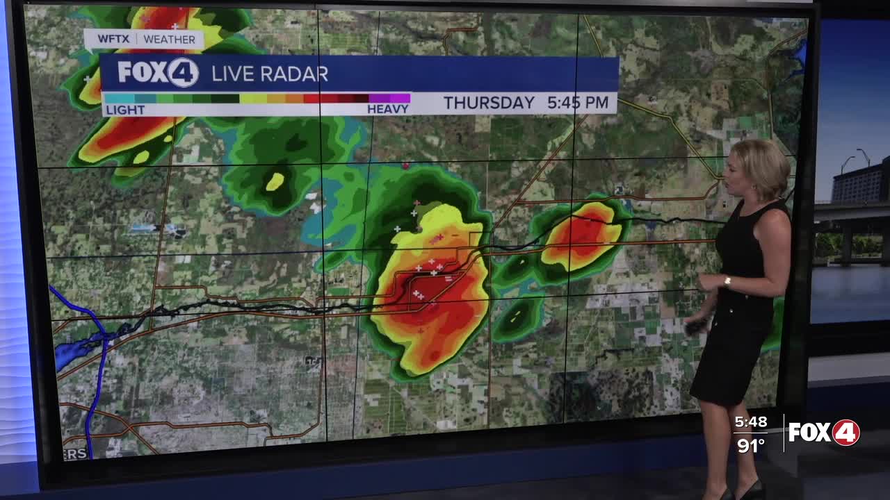
Scattered storms will continue through this evening. Most will wind down after sunset, but a few could bubble up on outflow boundaries even as late as 10pm. Those few storms will diminish after midnight.
Clearing skies are forecast overnight and we'll start off your Friday with mostly sunny skies and mid to upper 70s.
After 3pm, isolated storms will begin to bubble up. Overall, we are expecting less cloud cover and fewer storms, which will bring us hotter temperatures in the mid-90s. Factor in the humidity and it will feel more like 101-107°.
Saturday will be similar with a 30% chance for afternoon showers and storms. The best chance for these storms will be focused in Collier county.
Sunday, afternoon storms are expected to be more numerous with rain chances increasing to 40-60%.
Tracking Erin
We are closely monitoring Erin in the Atlantic. Impacts to SWFL will be limited to a wind shift to the northeast, some relatively drier air and lower rain chances mid to late next week.
For a full update on the tropics including development in the Gulf, CLICK HERE.
FOX 4 EVENING METEOROLOGIST KATIE WALLS
If you don't already have our Fox 4 mobile app, you can download it here.
