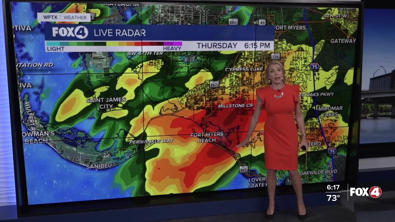


Here is your forecast for Wednesday, June 26th, 2025.
Storms will stay scattered until 10pm, when they'll become more isolated overnight.
With a wind shift, we'll kick off Friday with the chance for morning showers and storms focused near the coast and west of I-75. That rain chance will shift inland for the afternoon, as winds pick up out of the southwest.
The Storm Prediction Center has placed inland Southwest Florida (eastern Charlotte, eastern DeSoto, Glades, Hendry and central-eastern Collier) in a "marginal" risk for severe weather, meaning a level 1 out of 5 risk.
FRIDAY FORECAST: A wind shift will bring the chance for MORNING showers and storms to the coast and communities west of I-75. Afternoon storms are expected to mainly be inland, some of which could be strong to severe. pic.twitter.com/WI51k80rlJ
— Katie Walls, CCM, CBM (@KatieWallsTV) June 26, 2025
Gusty damaging wind will remain our primary threat. We could also see the potential for small hail along with a lot of lightning. Again, this severe threat will be for the afternoon hours.
When you hear thunder, head indoors immediately. Florida has been a dangerous lightning strike hot-spot over the past week with a dozen people struck in at least five incidents!
Looking ahead to the weekend, both days will be sunny and hot early before afternoon storms chances arrive. Saturday the chance of rain will be around 60% and that shoots up to 80% on Sunday.
FOX 4 EVENING METEOROLOGIST KATIE WALLS
If you don't already have our Fox 4 mobile app, you can download it here.
