

Here is your forecast for Monday, August 11th, 2025.
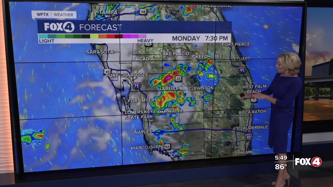
Isolated showers and storms this evening will diminish after sunset and fully wind down across SWFL by 11pm.
Tomorrow we will wake up dry once again with temperatures in the mid to upper 70s. With more sunshine forecast in the morning, temperatures will be a couple of degrees hotter than today in the mid-90s. Factor in the humidity, it will feel more like 100-105°.
After 2pm, the rain chance goes up to 80%. Heavy rain and lightning will remain the primary concern.
Looking at the rest of the week, we aren't expecting it to be as active each afternoon. Rain chances reflect that, dropping to 60% tomorrow and 40% Wednesday through Friday.
For the latest on Erin and other systems in the Tropics, CLICK HERE.
FOX 4 EVENING METEOROLOGIST KATIE WALLS
If you don't already have our Fox 4 mobile app, you can download it here.
