

Here is your forecast for Tuesday, October 7th, 2025.
Summer-like conditions will linger this week before big changes arrive this weekend.
We'll wake up to temperatures in the mid 70s and partly cloudy skies.
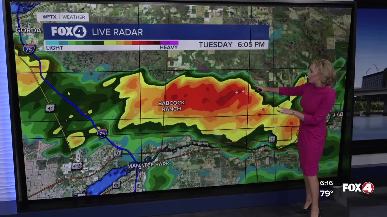
After 2pm, keep umbrellas on standby. Though I don't expect radar to be as active as today, we will still have isolated showers and thunderstorms Wednesday afternoon.
Afternoon highs will head toward 90°. Factor in the humidity, it will feel more like 98°. It will be breezy at times with gust to 22 mph.
A better chance for scattered afternoon storms arrives on Thursday and Friday, ahead of an approaching cold front.
That cold front moves through SWFL late Friday, early Saturday, ushering in lower humidity and lower rain chances over the weekend. Overall the weekend is expected to feel very much like fall (by SWFL standards!) complete with cooler morning temperatures in the upper 60s.
FOX 4 EVENING METEOROLOGIST KATIE WALLS
If you don't already have our Fox 4 mobile app, you can download it here.
