

Here is your forecast for Friday, July 24th, 2025.
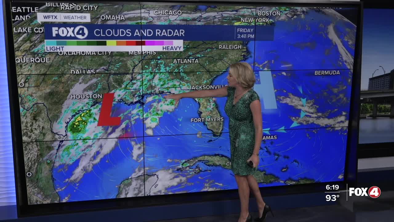
Showers and storms are very limited this evening. Rain chances will stay low at 10% through the evening hours.
Overnight, clear skies are forecast with morning lows in the low to mid-70s. We'll kick off your Saturday with lots of sunshine.
With high pressure and Saharan dust overhead, rain chances will be VERY low on Saturday at just 10%. Mostly sunny skies are expected through the afternoon. Lack of rainfall and cloud cover will lead to hot temperatures in the mid to upper 90s, near records in Fort Myers and Punta Gorda.
Unlike last weekend, this weekend's dew points are expected in the low to mid-70s (versus last weekend's mid to upper 70s). While it will feel more like 100-105°, because of those slightly lower dew points, we should stay out of Heat Advisory territory.
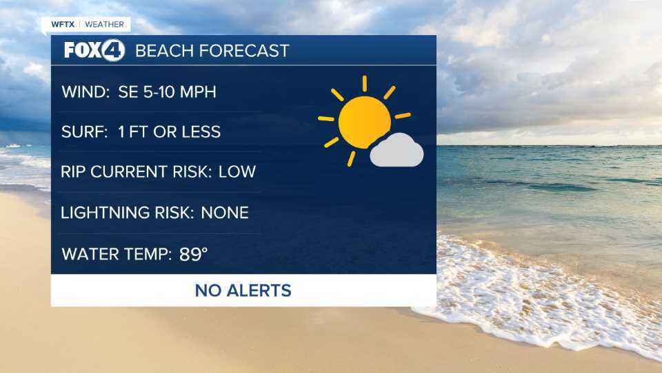
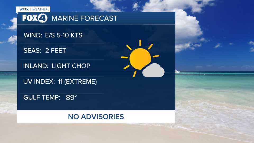
Light winds are expected out of the east and southeast between 5-10 mph.
Sunday will be similar with a 20% rain chance in the afternoon and equally hot temperatures.
Drier air will gradually retreat early next week with isolated showers returning on Monday becoming more widespread by Tuesday.
FOX 4 EVENING METEOROLOGIST KATIE WALLS
If you don't already have our Fox 4 mobile app, you can download it here.
