

Here is your forecast for Tuesday, July 1st, 2025.
Though it's dry at 11pm, scattered showers and storms are expected overnight between midnight and 6am. Those storms should thin out by day break, leaving us with spotty showers closer to the coast for the morning drive.
With winds out of the southwest, the highest chance for storms in the afternoon will be to the east of I-75. That said, any storms that are in the Gulf will be transported onshore, leading to isolated coastal showers and storms in the afternoon and evening.
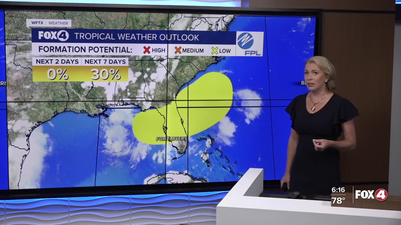
Then Thursday, rain chances increase to 80%, as a frontal boundary stalls across north Florida. An area of low pressure could develop along that front, which would draw in even more moisture over SWFL, increasing our rain chance for the 4th of July . HERE'S HOW THAT COULD IMPACT YOUR PLANS
FOX 4 EVENING METEOROLOGIST KATIE WALLS
If you don't already have our Fox 4 mobile app, you can download it here.
