

Here is your forecast for Wednesday, July 16th, 2025.
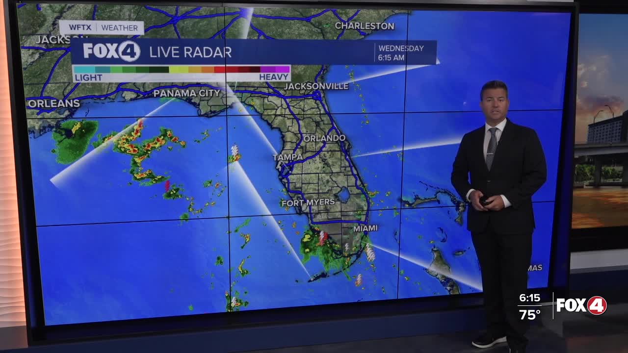
Good morning, Southwest Florida! We are waking up with a few showers and storms in the southern part of Collier county and just off the coast of Charlotte and Lee counties. Our temperatures this morning are in the mid to upper 70s and this afternoon they will climb to 91° before the showers and storms arrive to cool us off. Our chance of rain today is around 70%. The showers and storms will start to develop inland around noon and get a push towards the coast on a southeast breeze. Closer to the coast, the heaviest rain will arrive around 3PM-5PM this evening. Hopefully that will leave the evening hours dry although a little cloudy.
The rainy pattern is still all due to the broad and disorganized low moving across the norther part of the state. The National Hurricane Center is still monitoring this area and giving it a medium chance, at 40%, of developing in the days ahead.
Overnight, partly cloudy as we stay warm and humid with lows in the mid to upper 70s.
Looking ahead towards the rest of the week, rain chances stay high tomorrow around 80%, but we have bumped the afternoon rain chances down a bit for Friday and Saturday. Hopefully that will hold and allow us more sunshine to wrap up the week. Highs get back in the low to mid 90s starting Thursday and running through early next week.
The chance of rain starts to increase again on Sunday and will be back around 70% on Monday and Tuesday.
FOX 4 MORNING METEOROLOGIST TRENT ARIC
If you don't already have our Fox 4 mobile app, you can download it here.
