

Here is your forecast for Tuesday, August 12th, 2025.
Storms will gradually taper after sunset. Overnight, clouds will clear out, making way for viewing the Perseid Meteor Shower! Because of the waning gibbous moon shining brightly, we may only see 10-20 meteors per hour. Best viewing will be early morning before sunrise.
Tonight, the annual Perseid Meteor Shower peaks! Yes, we'll have a bright waning gibbous moon, but you still may catch a few meteors streak across the sky, especially early morning, when clouds aren't present. Also around daybreak, check out the Venus/Jupiter "kiss" to the east! pic.twitter.com/gfVUOxrKX9
— Katie Walls, CCM, CBM (@KatieWallsTV) August 12, 2025
Tomorrow our highs will hear into the mid 90s and feel more like 101-106°. The rain chance will drop to around 40%. There will be showers and storms, but they will be more scattered after 2pm, compared to today.
The rain chances will continue to drop late week and could be as low as 20-30% Friday and Saturday.
3,000 miles from SWFL, we are tracking Tropical Storm Erin. For the latest, CLICK HERE.
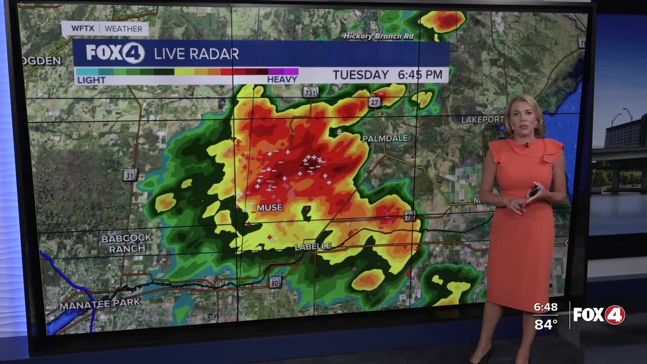
FOX 4 EVENING METEOROLOGIST KATIE WALLS
If you don't already have our Fox 4 mobile app, you can download it here.
