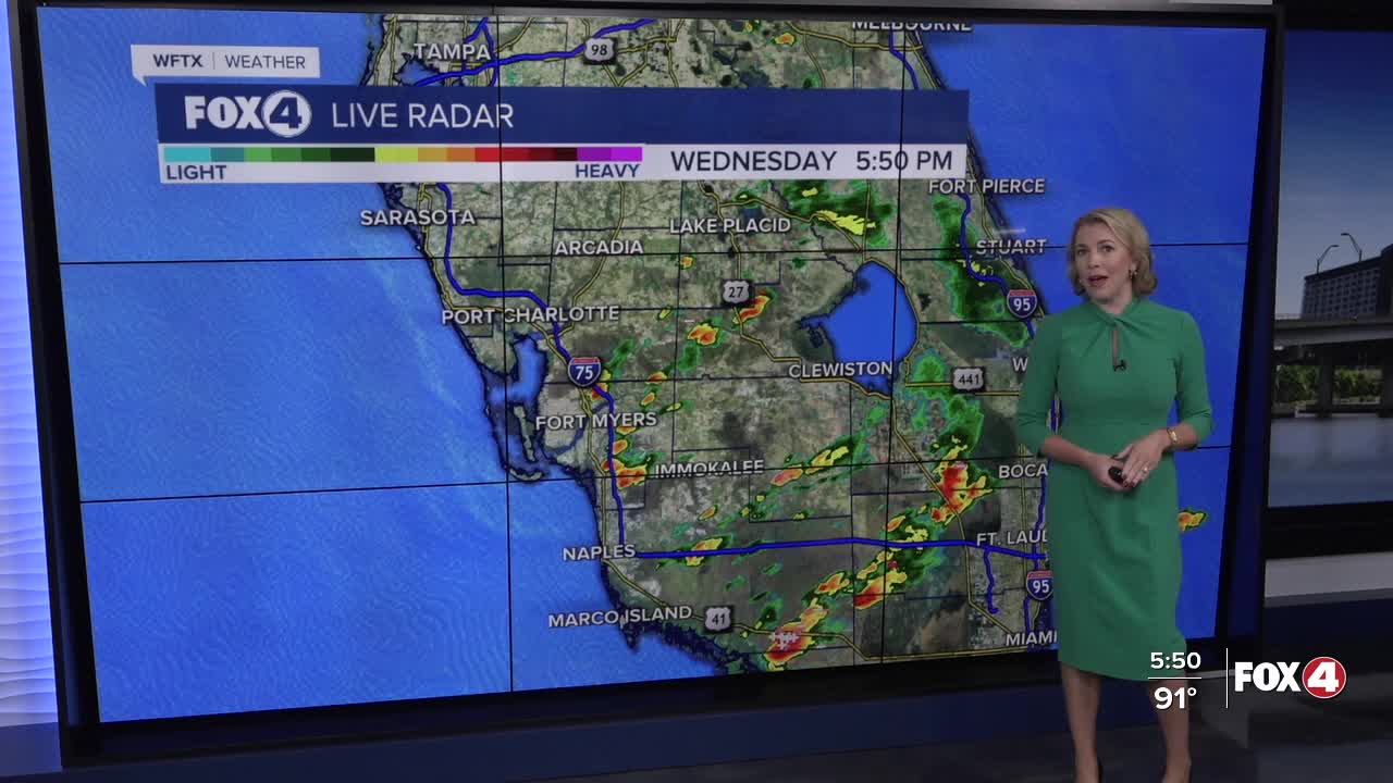


Here is your forecast for Wednesday, September 24th, 2025.
Scattered storms this evening will wind down after sunset. Clouds will clear out overnight and we'll kick off Thursday with lots of sunshine in the mid-70s.
Great news for beach plans! Inland storms are generally forecast as we head into your Thursday and Friday, as westerly winds increase each afternoon. This will keep our coastal communities dry and hot each afternoon. Along and east of I-75, rain chances will increase to 30-40%.
High temperatures are expected around 92° with feels like temperatures around 100°.
Heading into the weekend, scattered storms are forecast for your Saturday with afternoon storms expected Sunday. High temperatures are forecast around 90-91°.
CLICK HERE FOR THE LATEST ON NEWLY FORMED TROPICAL STORM HUMBERTO
A tropical system (94L, not to be confused with Humberto) is expected to move toward the Bahamas this weekend. Its positioning and track will determine our rain chances as it moves parallel to the east coast. Impacts aren't expected in SWFL, and based upon the latest data, it may even help to drive in some drier air Monday and Tuesday.
FOX 4 EVENING METEOROLOGIST KATIE WALLS
If you don't already have our Fox 4 mobile app, you can download it here.
