

Here is your forecast for Thursday, October 9th, 2025.
Craving a cool down and break from the humidity? That will arrive Saturday following a cold front late Friday night.
We'll wake up Friday to lows in the mid-70s with partly cloudy skies and winds from the northeast between 10-15 mph. Friday overall isn't expected to be as windy as it has been with gusts generally below 15 mph.
Friday will be similar to today with highs in the mid to upper 80s and a 60% chance of showers and storms in the afternoon and evening.
A cold front will push through overnight Friday into early Saturday, ushering in much drier air over the weekend. Lower dew points will not only bring us lower humidity but also cooler morning lows in the 60s, the coolest mornings since May!
A FALL FRONT ON THE WAY! SWFL is in for a treat this weekend with morning lows falling into the upper 60s. These are the coolest morning lows since May 2, more than five months ago! Plus, we can expect lower humidity. The start of dry season? Could be.... #flwx pic.twitter.com/qQzGmyFXST
— Katie Walls, CCM, CBM (@KatieWallsTV) October 9, 2025
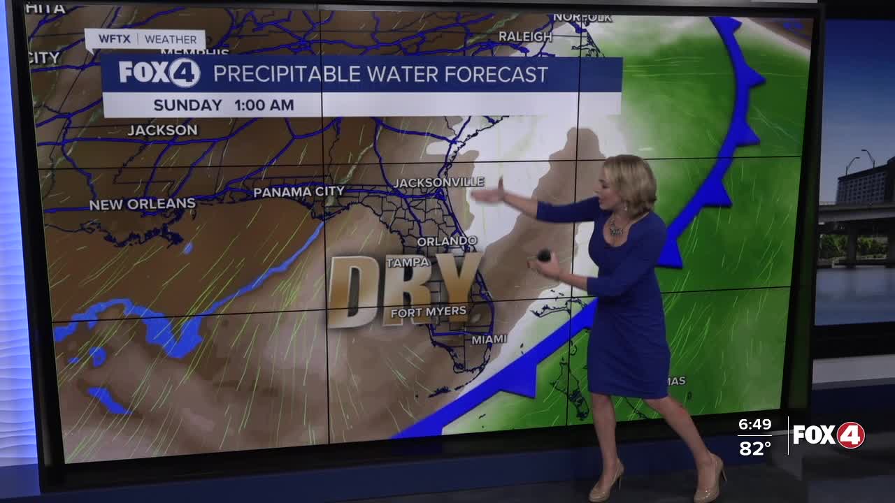
Over the weekend, wet weather won't be a problem. This front cold also mark the end of our rainy season. Stay tuned...
FOX 4 EVENING METEOROLOGIST KATIE WALLS
If you don't already have our Fox 4 mobile app, you can download it here.
