

Here is your forecast for Saturday, August 2nd, 2025.
The first weekend of August will be hot and humid with a better chance for scattered storms.
We are starting today in the upper 70s and lower 80s with a few showers and storms along the coast.
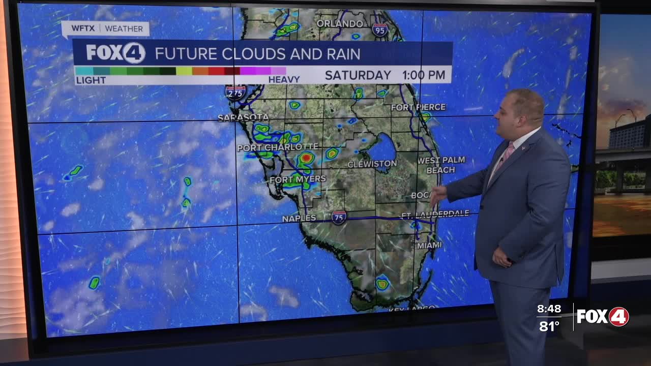
Once southwesterly winds kick up, the best chance for scattered rain will shift inland, along and east of I-75, especially after Noon. Latest guidance has the majority of storm chances in Lee, Charlotte, Glades, and DeSoto Counties.
Highs on Saturday will be in the low to mid 90s once again with feels like temperatures in the triple digits. A heat advisory will be in effect starting at 11am until 7pm for Glades, Hendry, and Collier Counties as feels like temperatures warm as high as 109°.
Sunday will be similar. Rain chances both Saturday and Sunday will be around 60%. A little higher rain chances will return by midweek as Southeasterly flow returns to the state.
TROPICS:

A low pressure system is expected to form Saturday along a frontal system off the southeastern coast of the United States, according to the National Hurricane Center.
The system is forecast to move slowly east-northeastward through early next week with only minimal development anticipated.
The system currently has a low 10 percent chance of formation within the next 48 hours and a 20 percent chance over the next seven days.
While this system currently poses minimal threat, our Fox 4 Weather team will continue monitoring any developments that could affect Southwest Florida.
FOX 4 METEOROLOGIST ANDREW SHIPLEY
If you don't already have our Fox 4 mobile app, you can download it here.
