

Here is your forecast for Thursday, September 25th, 2025.
Inland storms will wind down after sunset. Overnight, clouds will clear out and we'll wake up to lower 70s inland and mid to upper 70s along the coast with lots of sunshine.
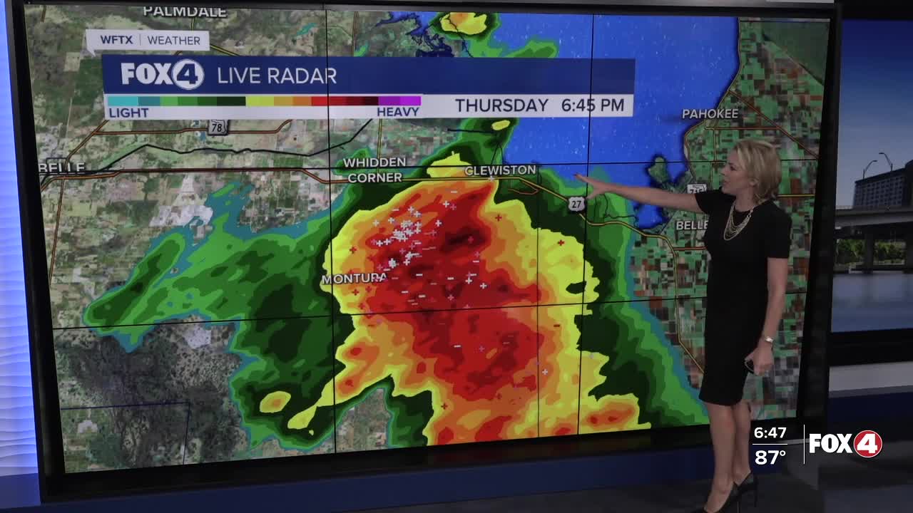
After 2pm, isolated storms will be developing, mainly inland once again, as westerly winds increase between 5-10 mph. This will keep Friday evening plans dry from Arcadia to Fort Myers down to Marco Island. Closer to Lake O is where we have the best chance of rainy impacts.
High temperatures are expected in the lower 90s, feeling more like 100° with the humidity.
Looking ahead to Saturday, isolated afternoon storms are expected primarily inland, along and east of I-75. Sunday will feature a 40% chance for afternoon storms. Highs will remain near 90°.
CLICK HERE FOR THE LATEST ON TROPICAL STORM HUMBERTO AND WHAT IS LIKELY TO BECOME IMELDA OVER THE WEEKEND
A tropical system (94L, not Humberto) is producing heavy rain and storms over Puerto Rico and the Dominican Republic. It is expected to move toward the Bahamas this weekend, becoming a depression then Tropical Storm Imelda.
While landfall is NOT forecast in Florida at this time, as it moves northward, it will help pull drier air into SWFL. This will lower our rain chances to 20% early to mid next week.
FOX 4 EVENING METEOROLOGIST KATIE WALLS
If you don't already have our Fox 4 mobile app, you can download it here.
