

Here is your forecast for Thursday, July 17th, 2025.
Good morning, Southwest Florida!
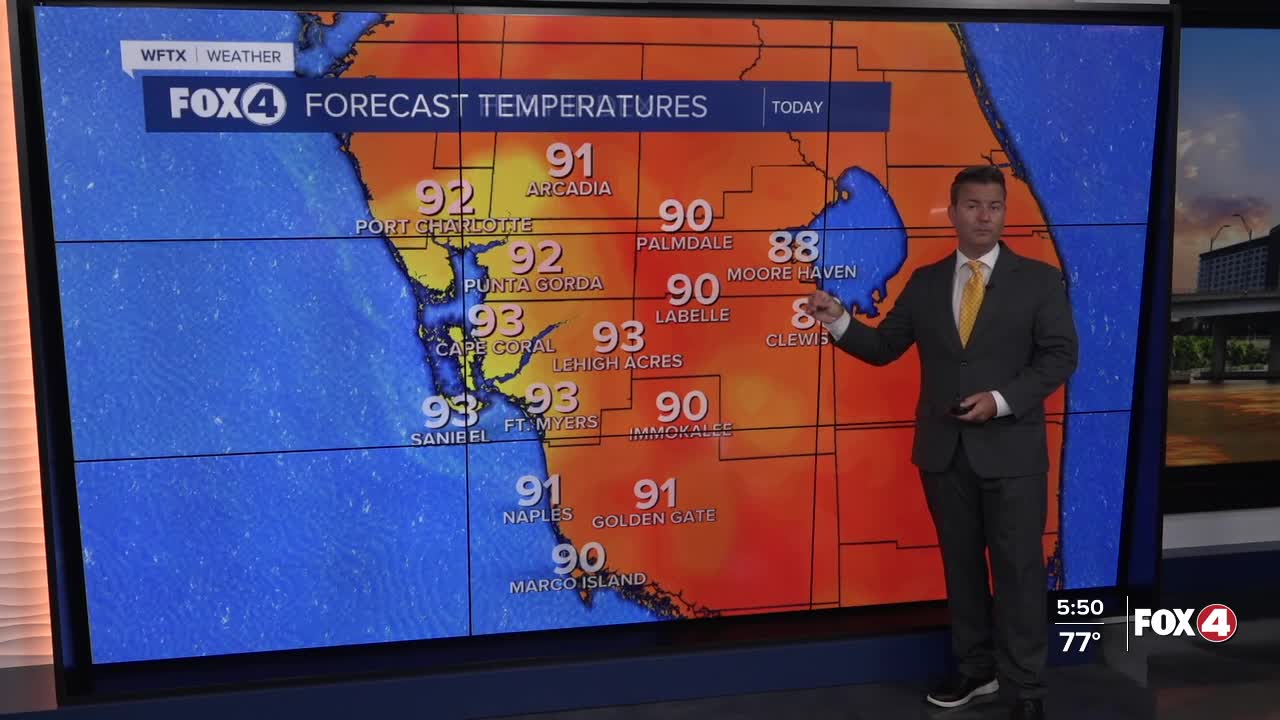
We are waking up with a few showers and storms off the coast this morning. Our temperatures this morning are in the upper 70s and this afternoon they will climb to 93° before the showers and storms arrive to cool us off. Our chance of rain today is around 70%. The showers and storms will start to develop around 1PM and continue to develop and move across the area on a southeast breeze. The strongest storms should be between 3-5PM with showers lingering a little past sunset in some areas.
The rainy pattern is still all due to the broad and disorganized low moving across the Gulf coast sliding west towards Louisiana and Texas. The National Hurricane Center is still monitoring this area and giving it a low chance, at 30%, of developing in the days ahead.
Overnight, partly cloudy as we stay warm and humid with lows in the mid to upper 70s.
Looking ahead towards the rest of the week, we have bumped the chance of rain way down of Friday, Saturday and Sunday as drier air moves into place. This will allow us more sunshine to wrap up the week and for our temperatures to climb. Our highs will be around 95°-96° Friday through Sunday.
The chance of rain starts to increase again on Monday and Tuesday with a 60-70% chance of afternoon showers and storms.
FOX 4 MORNING METEOROLOGIST TRENT ARIC
If you don't already have our Fox 4 mobile app, you can download it here.
