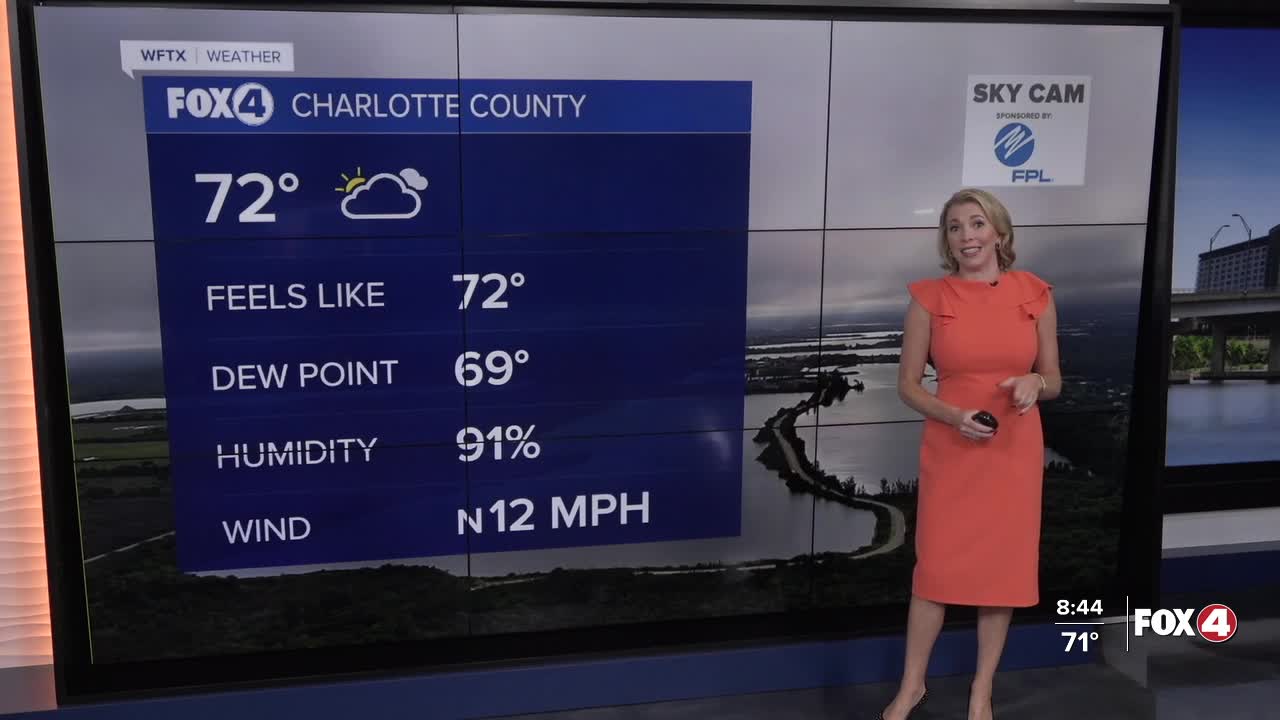


Get ready for a gorgeous weekend!
The front has cleared SWFL, but lingering moisture may still produce a spotty shower. The lightning threat, however, is very low. Clouds will gradually clear today.
Afternoon highs are expected in the mid-80s with northerly winds between 10-15 mph.
Now get ready for the coolest night since early May!
The first front of the fall season has cleared SWFL! In its wake, cooler, drier air will filter in. Tonight will be the coolest since early May. The last time Fort Myers dropped to 67° was on May 2nd. #flwx pic.twitter.com/sVthO8LWEa
— Katie Walls, CCM, CBM (@KatieWallsTV) October 11, 2025
We'll wake up Sunday to widespread 60s. Dewpoints in the 50s and 60s will set us up for very low humidity in the afternoon. Ample sunshine is forecast with light northerly winds.
We stay dry early next week as afternoon highs increase a bit to 88° under mostly sunny skies.
Based upon the latest data, this front may very well be the start to our dry season, which typically begins around October 15.
FOX 4 EVENING METEOROLOGIST KATIE WALLS
If you don't already have our Fox 4 mobile app, you can download it here.
