

Here is your forecast for Wednesday, August 27th, 2025.
With the stationary boundary stalled just to our north, most of SWFL dealt with a fair amount of cloud cover, keeping temperatures in the 80s for Punta Gorda. Fort Myers was on par at 91°. Farther south into Collier county, Naples had a lot more sunshine and temperatures climbed into the mid-90s.
Tomorrow, I'm expecting more sunshine overall, and that will help to warm temperatures across the board into the low and mid-90s. Factor in the humidity and it will feel more like 100-105°.
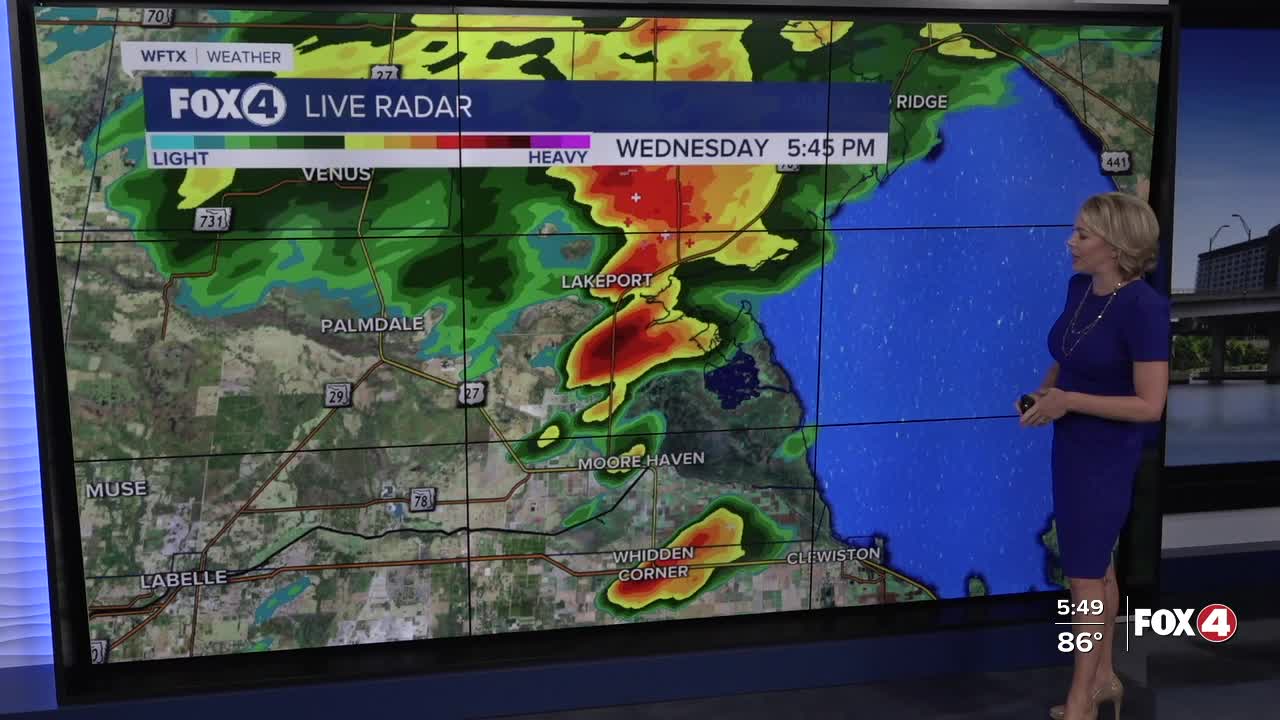
Isolated rain showers are expected after 11am. That probability will shift inland, east of I-75, for the afternoon.
HEADS UP FOR LABOR DAY WEEKEND! Another cold front will slide down the state and that will once again, for the second straight weekend, bring a high chance of rain and cloud cover. Right now the rain chance Saturday, Sunday and Monday is around 70%.


In turn more clouds and rain will keep temperatures in the 80s for highs.
FOX 4 EVENING METEOROLOGIST KATIE WALLS
If you don't already have our Fox 4 mobile app, you can download it here.
