

Here is your forecast for Saturday, August 9th, 2025.
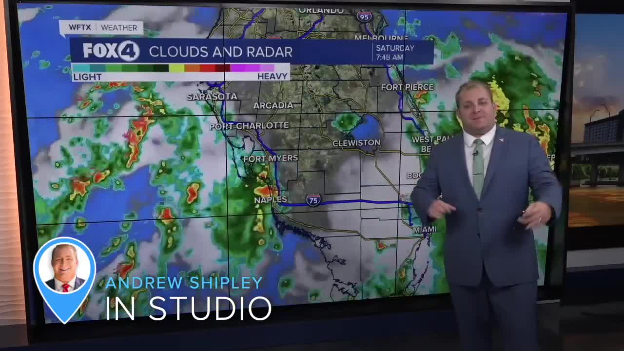
We are waking on Saturday with showers and thunderstorms along the coast with temperatures in the mid to upper 70s.
We'll have a better chance for widespread showers and storms in the afternoon with rain chances increasing to 90%. Rounds of heavy rain and lightning will remain our primary threats.
Sunday will be similar with scattered showers and storms expected in both the morning and afternoon.
The cloud cover and rain will keep our temperatures around the 90° mark both days this weekend.
Next week marks the first week of school for thousands of Southwest Floridians! Our classic rainy season pattern will return on Monday with morning sunshine and developing afternoon storms. High temperatures will therefore be a bit hotter, back to the mid-90s with head index values between 100-105°.
TROPICS:

Two tropical systems are currently being monitored in the Atlantic Ocean by the National Hurricane Center. While neither poses an immediate threat to our area, one system could develop into a tropical depression by next week.
The first system, located in the central tropical Atlantic, shows disorganized showers and thunderstorms associated with a tropical wave. Development appears unlikely during the next 48 hours due to surrounding dry air. However, some gradual development is possible during the early or middle part of next week as the system moves northwestward to northward across the central Atlantic.
The National Hurricane Center gives this system near 0 percent chance of formation through 48 hours and a 20 percent chance through 7 days.
The second system, a tropical wave that recently emerged off the west coast of Africa, is producing a large area of disorganized showers and thunderstorms. Environmental conditions appear favorable for gradual development, and a tropical depression could form by the middle to latter portion of next week.
This system is moving west-northwestward at 15 to 20 mph across the eastern and central tropical Atlantic. The National Hurricane Center gives it near 0 percent chance of formation through 48 hours but a medium 40 percent chance through 7 days.
Residents of the Cabo Verde Islands should prepare for locally heavy rainfall Sunday and Monday.
If the second system develops into a tropical storm, it would be named Erin.
I'll continue to track these systems and provide updates as conditions change.
FOX 4 METEOROLOGIST ANDREW SHIPLEY
If you don't already have our Fox 4 mobile app, you can download it here.
