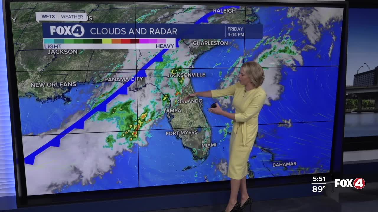


Here is your forecast for Friday, September 26th, 2025.
Isolated showers and storms in our inland communities will wind down by 8pm. We'll kick off your weekend with mostly sunny to partly cloudy skies and temperatures in the 70s.
A nearby front will be close enough to increase rain chances on Saturday to 40%, especially in our northern communities, specifically northern Lee, Charlotte, DeSoto and Sarasota counties. That front will fizzle out Sunday morning.
On Sunday, as future-Imelda moves northward parallel to Florida's east coast, drier air will begin to filter in, lowering rain chances into the isolated range of 30%.
CLICK HERE FOR THE LATEST ON TROPICAL STORM HUMBERTO AND POTENTIAL TROPICAL CYCLONE #9, FORECAST TO BECOME IMELDA OVER THE WEEKEND
Looking ahead to next week, as future-Imelda moves toward the Carolina coast, drier air will be pulled across the western side of the state. That will give us mostly sunny to partly cloudy skies and dry conditions with just a 10-20% chance of extremely isolated showers.
FOX 4 EVENING METEOROLOGIST KATIE WALLS
If you don't already have our Fox 4 mobile app, you can download it here.
