

Here is your forecast for Tuesday, July 29th, 2025.
After an exceptionally hot stretch, temperatures will drop a couple degrees into the low and mid-90s, out of record-territory. The reason? Our seabreeze.
Winds out of the west and southwest starting on Wednesday will keep most communities a few degrees cooler than it has been. It will still be hot, feeling more like 101-107° with the humidity, but below Heat Advisory range for most of SWFL. DeSoto and Sarasota counties are under a Heat Advisory again on Wednesday from Noon until 7pm.
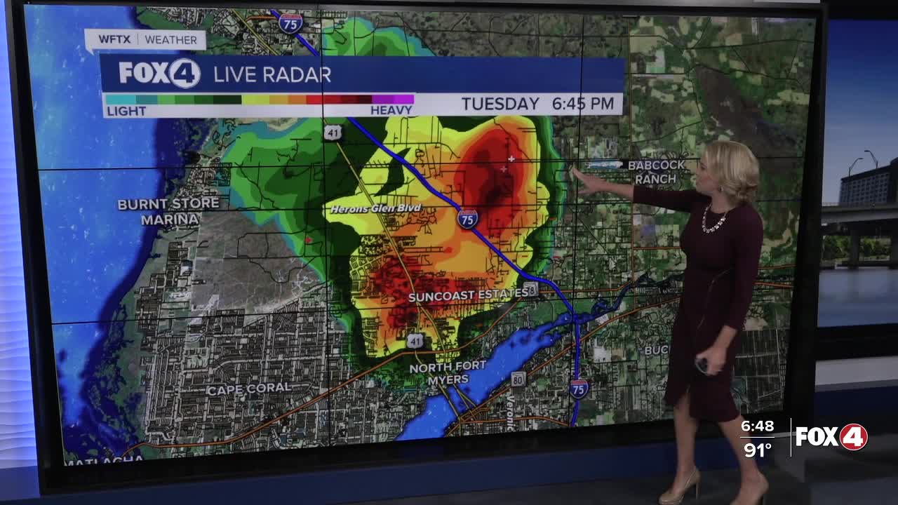
That seabreeze will also help to initialize showers and storms around lunch time near I-75, continuing through the afternoon, inland. Pockets of heavy rain and lightning will remain our primary threats.
Rain chances will range from 30-40% through the rest of the week into the weekend before increasing next week to 60%.
FOX 4 EVENING METEOROLOGIST KATIE WALLS
If you don't already have our Fox 4 mobile app, you can download it here.
