

Here is your forecast for Tuesday, July 8th, 2025.
Isolated showers and storms will taper after sunset.
Overnight will be warm and muggy with lows in the mid to upper 70s. It will be sunny to start your Wednesday, but after 2pm, stay weather aware. Scattered storms will be developing, capable of rounds of heavy rain and lightning.
It looks like the best chance for storms will be along and near I-75 early to mid afternoon, shifting inland late afternoon and evening.
Temperatures will stay hot in the mid-90s, feeling more like 100-105°.
More moisture will build into SWFL as we continue through the week, courtesy of a mid-level disturbance. On Thursday afternoon our chance of rain climbs to 70-80% and could be as high as 90% on Friday.
Looking ahead to the upcoming weekend, the rain chances will stay high around 70% with highs around or just above 90°.
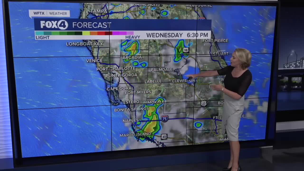
FOX 4 EVENING METEOROLOGIST KATIE WALLS
If you don't already have our Fox 4 mobile app, you can download it here.
