

Here is your forecast for Monday, July 21st, 2025.
It was an exceptionally hot day, feeling more like 108°+, which is why the National Weather Service issued Heat Advisories. Punta Gorda's 98° high temperature was 1° off the record.
Check out today's max heat index values, or "feels like", temperatures! For SWFL, whenever it feels more like 108°+, Heat Advisories are issued, and why we were all under them today. With more clouds and rain forecast Tuesday-Thursday, Advisories are not expected at this time. pic.twitter.com/WjBUctWX7o
— Katie Walls, CCM, CBM (@KatieWallsTV) July 21, 2025
With more clouds and rain Tuesday through Thursday, it won't be hot enough for heat alerts but will still feel more like 100-105° with the humidity. Temperatures themselves are expected in the lower 90s.
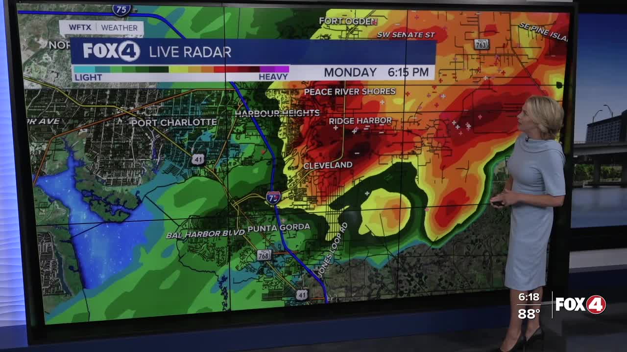
Showers and storms will be isolated for the morning before increasing in the afternoon and evening. The Weather Prediction Center has placed us in an Excessive Rainfall Outlook, as isolated flooding will be possible in slow-moving storms.
While rain chances will remain high through Thursday, drier air returns Friday and sticks around in the weekend, dropping rain chances to only 20-30%. This in turn means hotter temperatures returning to the mid-90s and heat index values getting closer to Advisory range.
FOX 4 EVENING METEOROLOGIST KATIE WALLS
If you don't already have our Fox 4 mobile app, you can download it here.
