

Here is your forecast for Monday, October 20th, 2025.
A stationary front stalled over SWFL will keep ample moisture stretched across the region. This will lead to a muggier start in the upper 60s and lower 70s.
With the higher humidity, some patchy fog on the morning commute is possible, especially in Lee and Charlotte counties.
High temperatures will stay warmer-than-normal around 90°. The average high for this time of year is 86°. The afternoon will stay humid, leading to heat index values feeling more like the low to mid-90s.
A few showers and storms are possible after 2pm.
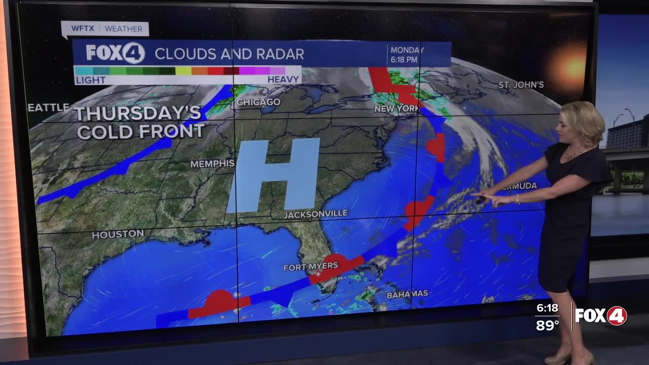
The front is forecast to fizzle Tuesday evening. A stronger front will approach on Wednesday and pass through early on Thursday, leading to lower humidity and cooler morning lows as we wrap up the work week.
Looking ahead to our next chance for rain, scattered showers and storms return to the forecast Sunday and Monday .
We are also watching the tropics, click here for the latest.
FOX 4 EVENING METEOROLOGIST KATIE WALLS
If you don't already have our Fox 4 mobile app, you can download it here.
