

Here is your forecast for Sunday, August 17th, 2025.
This morning we are waking up in the upper 70s and low 80s and plenty of sunshine, but will be another toasty day.
Highs will jump into the mid-90s with feels likes around 105°.
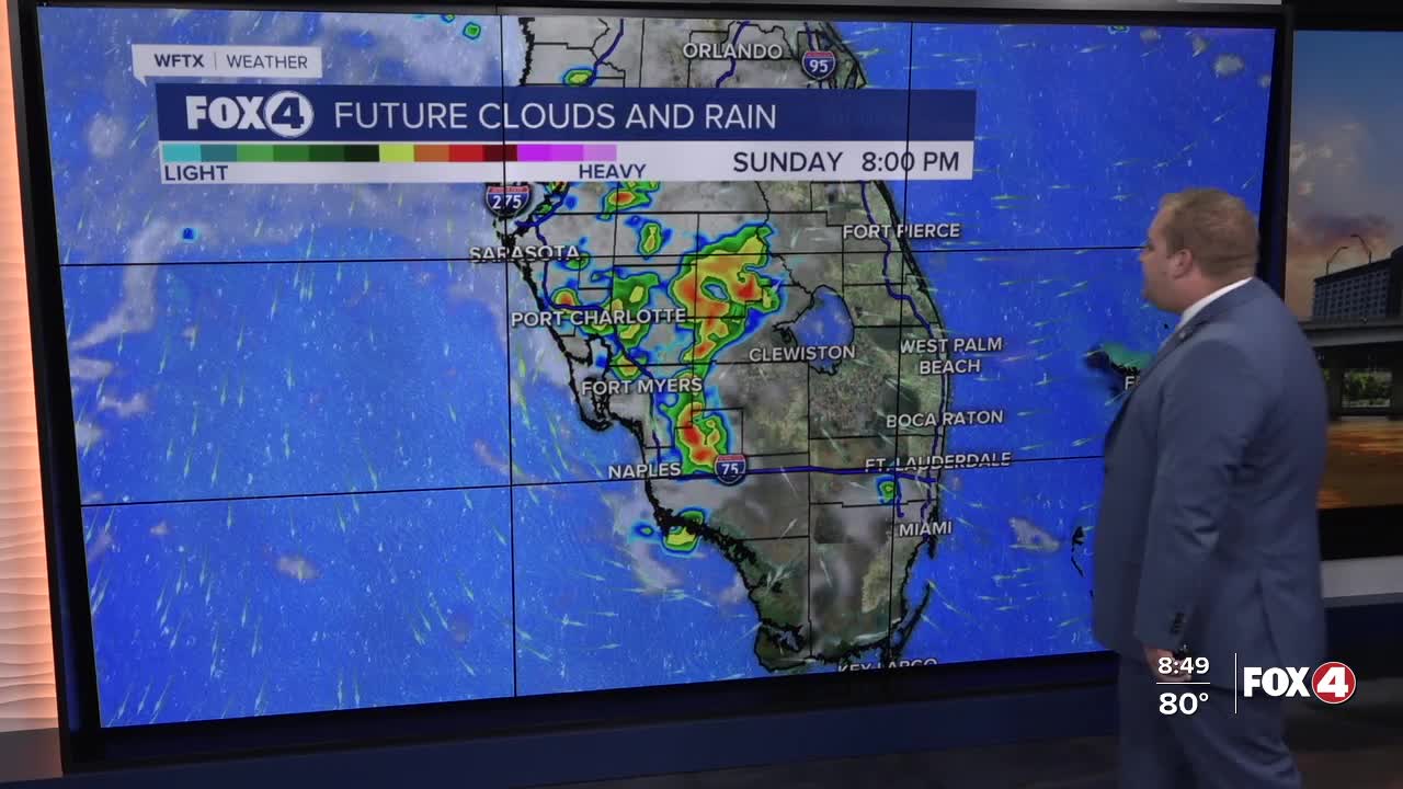
After 2pm, isolated storms will begin to bubble up near the coast and remain isolated until 6pm. Later in the evening storms will become more numerous along I-75.
Rain chances will remain on 60-70% on Monday and Tuesday. But drop to 50-60% on Wednesday as slightly drier moves over the Peninsula.
Tracking Erin
We are closely monitoring Hurricane Erin in the Atlantic. Impacts to SWFL will be limited to a wind shift to the northeast. This will actually drive in relatively drier air and lower rain chances mid to late next week.
For a full update on the tropics including development in the Gulf, CLICK HERE.
FOX 4 METEOROLOGIST ANDREW SHIPLEY
If you don't already have our Fox 4 mobile app, you can download it here.
