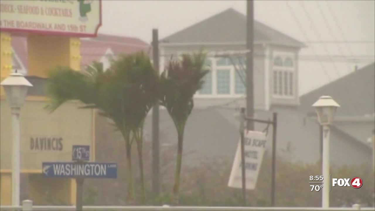
It’s been 20 years since Hurricane Wilma struck South Florida as a Category 3 on October 24, 2005.
Hurricane Wilma had the lowest central pressure of any tropical cyclone ever recorded in the Atlantic, Gulf and Caribbean, making it one of history's most intense hurricanes on record.
Wilma developed as a depression near Jamaica in the Caribbean. On the morning of October 17, 2005, Wilma became a tropical storm in the Caribbean. In the span of just 24-hours Wilma exploded from a tropical storm to a Category 5 hurricane.
On the morning of October 19, 2005, Wilma reached its peak intensity. NOAA Hurricane Hunters measured a pressure of 882 millibars in the center of Hurricane Wilma, the lowest pressure ever measured in an Atlantic, Caribbean or Gulf hurricane. This low pressure earned Wilma the status of the strongest hurricane ever recorded in our basin.
Wilma made landfall in Cozumel, Mexico as a Category 4 hurricane and accelerated toward South Florida. It made landfall as a Category 3 between Cape Romano and Everglades City in Ten Thousand Islands on October 24, 2005.
The eye was huge, 55-65 miles wide, as it crossed the state, hitting Collier and Hendry counties directly with strong winds in its eyewall. On the south end of Lake Okeechobee, 103 mph sustained winds were recorded.
Those strong winds severely damaged 100 hangars at Naples Airport and in Hendry county, destroyed 550 homes and caused extensive damage to the citrus industry.
Storm surge mainly impacted southern Collier County. Chokoloskee and Marco Island experienced a storm surge of around 7 feet. Everglades City was especially hit hard with nearly every building in the city suffering damage.
Wilma caused approximately $1.2 billion damage in Collier county and $567 million in Hendry County. Also of note, about 3,000 acres of mangroves were destroyed along the lower Gulf Coast by storm surge.


