

Here is your forecast for Friday, October 17th, 2025.
Following a weak front this morning, drier air is filtering in. The breezy conditions will gradually taper this evening.
We'll wake up Saturday to the coolest temperatures we've felt since May 2!
GET READY FOR COOLER TEMPS! (At least by SWFL standards...) Our morning lows will be the coolest since May 2, following a weak front this morning. Muggier dewpoints and in turn higher humidity return Sunday. #flwx pic.twitter.com/KZ5k9R7P5I
— Katie Walls, CCM, CBM (@KatieWallsTV) October 17, 2025
Dry dewpoints in the upper 50s and low 60s will lead to low humidity through the afternoon, alongside lots of sunshine.
Sunday, winds shift and become southerly. Once this happens, moisture will return. Dewpoints by Sunday afternoon will rise into the lower 70s, leading to higher humidity and overall, muggier air. More moisture will lead to more cloud cover and even the chance for a passing shower Sunday afternoon and evening.
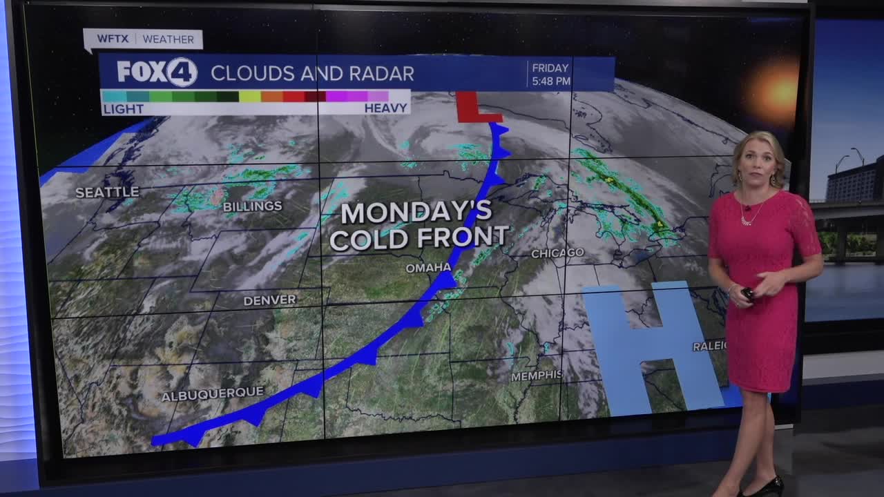
An approaching front early week will stall near SWFL. This will elevate moisture through midweek, leading to muggier mornings, more clouds and a 20% rain chance Monday through Tuesday.
FOX 4 EVENING METEOROLOGIST KATIE WALLS
If you don't already have our Fox 4 mobile app, you can download it here.
