

Here is your forecast for Thursday, February 19th, 2026.
It was a beautiful day with temperatures topping out in the mid 80s with lots of sunshine. Tonight, we will cool into the low 60s with partly cloudy skies. Areas of dense fog will develop after midnight, and still around into the morning commute. Maybe best to give yourself an extra few minutes if you have to head out in the morning.
During the afternoon temperatures will climb into the mid to upper 80s with mostly sunny skies.
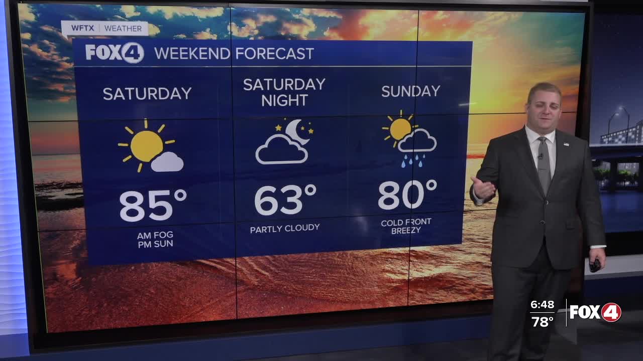
Saturday will be similar with AM fog, PM sunshine and highs in the mid to upper 80s.
As for Sunday, temperatures will still warm to about 80 degrees, but a cold front is set to arrive in the afternoon. This front will bring a line of showers, maybe a thunderstorm, but quickly move through. Unfortunately, this will not be a major rainmaker. That is not great new given our drought situation.
On Thursday's new U.S. Drought Monitor, 67% of the state of Florida is seeing Severe to Extreme Drought, including 78% of Southwest Florida seeing Extreme drought. Those levels of drought are months ahead of schedule. And behind the front, winds will increase out of the north and dew points will crash. That means with the drought, fire dangers will only increase.
Additionally, much cooler air arrive with the cold front. Highs on the Monday and Tuesday will be in the 60s, with Tuesday morning seeing temperatures in the 30s and 40s.
This will be brief cool down, as highs will return seasonable norms by next Thursday.
FOX 4 METEOROLOGIST ANDREW SHIPLEY
If you don't already have our Fox 4 mobile app, you can download it here.
