

Here is your forecast for Tuesday, October 28th, 2025.
A weak front moved through early this morning. On its backside, drier air is filtering in as dewpoints drop into the 60s. This means a cooler start on Wednesday with lows in the 60s across SWFL and minimal risk of fog.
Wednesday will start partly cloudy and finish mostly sunny with highs in the lower 80s, about 2° below average.
A stronger cold front arrive late Wednesday and that will bring in the coolest air of the season. Thursday will be sunny and nice with a high of 77°. Halloween morning will start off around 60° with highs in the mid-70s. The last Halloween that hit highs in the 70s was in 2017!
Get ready for refreshing trick-or-treat temps, falling through the 60s! Temperatures overnight Friday into Saturday will be in the mid 50s. The weekend will be fantastic as well with highs in the upper 70s to near 80°.
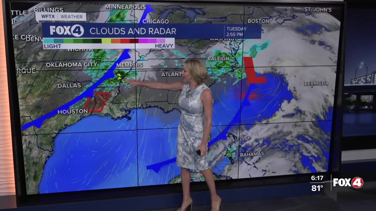
While the tropics are quiet close to home (and will remain quiet), we are closely monitoring historic Hurricane Melissa, taking aim at Cuba tonight before hitting the Bahamas later tomorrow.
FOX 4 EVENING METEOROLOGIST KATIE WALLS
If you don't already have our Fox 4 mobile app, you can download it here.
