

Here is your forecast for Sunday, August 31st, 2025.
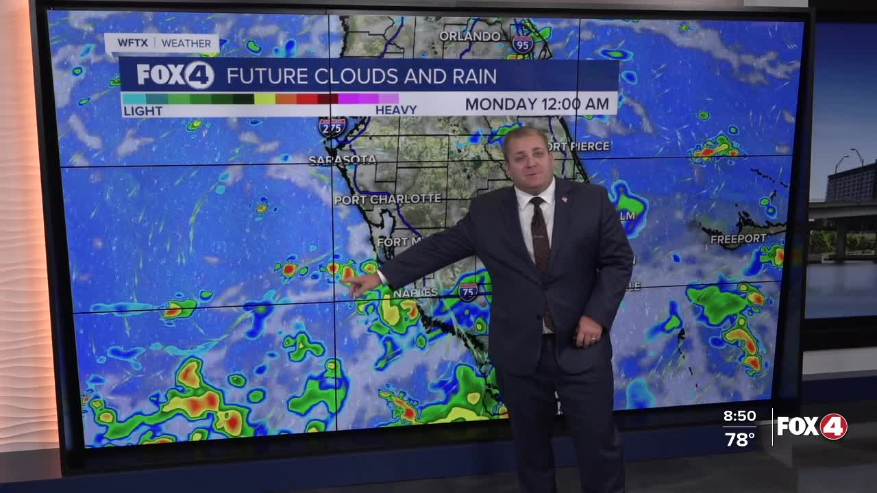
As a front is draped across the Peninsula to start the week, an unsettled weather pattern will stay with us into the middle of next week. The position of the front will be critical as to how much rainfall we receive. If you have outdoor plans, be prepared to pivot those indoors.
An area of low pressure will develop along the front tonight into Monday. As that front moves to east on Monday, northwesterly flow will be over Southwest Florida. This means we will see little drier air. Still look for a few afternoon showers and thunderstorm, mainly inland. With less rain coverage, highs will be in the lower 90s.
Higher rain chances will return on Tuesday and remain high on Wednesday and Thursday as another pulse of energy moves along the front.
The front looks to finally move out on Friday and Saturday, bring back our more typical weather pattern.
FOX 4 METEOROLOGIST ANDREW SHIPLEY
If you don't already have our Fox 4 mobile app, you can download it here.
