

FORECAST:
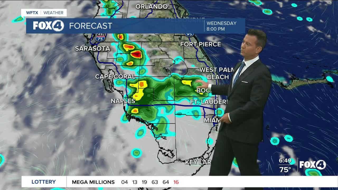
After another stormy afternoon and evening we are waking up to temperatures in the mid 70s this morning with a light east wind. The radar is fairly active this morning with several clusters of showers in the Gulf of Mexico and over the Florida Keys, however Southwest Florida remains dry for now. Today we will see sunshine early with highs around 90 and a 60-70% chance of afternoon showers and storms. The wind will be light today out of the southwest 5-10mph. Overnight the showers and storms come to an end with temperatures back in the mid to upper 70s.
Looking long range we keep scattered storms in the forecast through the upcoming weekend.
TROPICAL UPDATE:
The National Hurricane Center has issued its last advisory on Tropical Depression Nicholas which is located just west of the Texas and Louisiana border. Future advisories on Nicholas will be issued by the Weather Prediction Center. They are continuing to watch three areas in the Atlantic for possible development.
Showers and thunderstorms associated with a low pressure area located a few hundred miles south of the Cabo Verde Islands continue to show signs of organization. Environmental conditions are expected to remain conducive for development, and a tropical depression is likely to form during the next couple of days while the system moves generally westward at about 15 mph across the eastern tropical Atlantic Ocean.
Formation chance through 48 hours is high at 80 percent.
Formation chance through 5 days is high at 90 percent.
The second is a trough of low pressure located a few hundred miles northeast of the central Bahamas that is producing a large area of disorganized showers and thunderstorms. Environmental conditions appear marginally conducive for gradual development during the next few days, and a tropical depression is likely to form while the system moves north-northwestward to northward across the western Atlantic.
Formation chance through 48 hours is medium at 60 percent.
Formation chance through 5 days is high at 70 percent.
The third is a tropical wave that is expected to emerge off of the west coast of Africa toward the end of the week. Environmental conditions are forecast to be conducive for development while the system moves generally west-northwestward to northwestward over the far eastern Atlantic.
Formation chance through 48 hours is low near 0 percent.
Formation chance through 5 days is low at 20 percent.
FOX 4 MORNING METEOROLOGIST TRENT ARIC
If you don't already have our Fox 4 mobile app, you can download it here.
