

Here is your forecast for Wednesday, September 10th, 2025.
If you're craving a break from the cloudy and stormy conditions, just wait until the weekend.
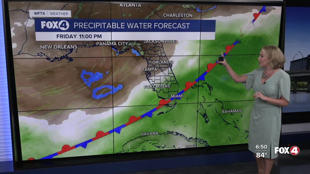
A trough of low pressure parked along the east coast and right over Florida continues to produce unsettled weather across SWFL. At the surface, a stationary front remains parked over central Florida. This will keep weather active through Friday.
We'll wake up Thursday to isolated showers and storms and mid-70s. After lunch, rain chances increase to 80%. With more storms in the afternoon, highs temperatures are expected to be around 89°. Friday will be similar.
Changes finally arrive this weekend. Dry air will be surging south across the state pushing the stationary front to our south and dropping our chance of rain. Saturday we will see a 30% chance of isolated showers and storms and by Sunday, those chances drop to 20%. Even lower humidity is expected!
Get ready for a taste of fall?! Some areas in the northern part of our viewing area could see overnight lows in the upper 60s on Sunday morning, but those temperatures will rebound back up in the upper 80s to near 90° in the afternoon.
FOX 4 EVENING METEOROLOGIST KATIE WALLS
If you don't already have our Fox 4 mobile app, you can download it here.
