

Here is your forecast for Wednesday, September 3rd, 2025.
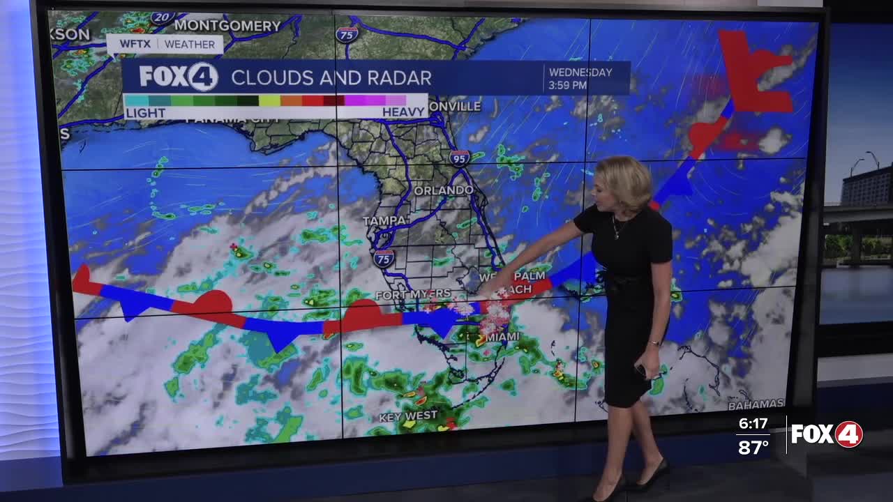
A stalled front over SWFL kept cloud cover over the area and in turn high temperatures around 90°. Most of the showers were closer to the front in Collier and Hendry counties.
The proximity of the front will determine how wet each day is this week. Thursday, the front looks to be far enough north that it will bring a 70% chance of showers and a few isolated thunderstorms in the morning and afternoon. It will be a little cloudier than usual and that will keep our temperatures in the upper 80s to near 90° both Thursday and Friday. Rain chances will stay around 60% on Friday.
This weekend, we're expecting the front to start to pull far enough away to get us back to a more typical rainy season pattern with sunshine early and scattered showers and storms in afternoon hours.
FOX 4 EVENING METEOROLOGIST KATIE WALLS
If you don't already have our Fox 4 mobile app, you can download it here.
