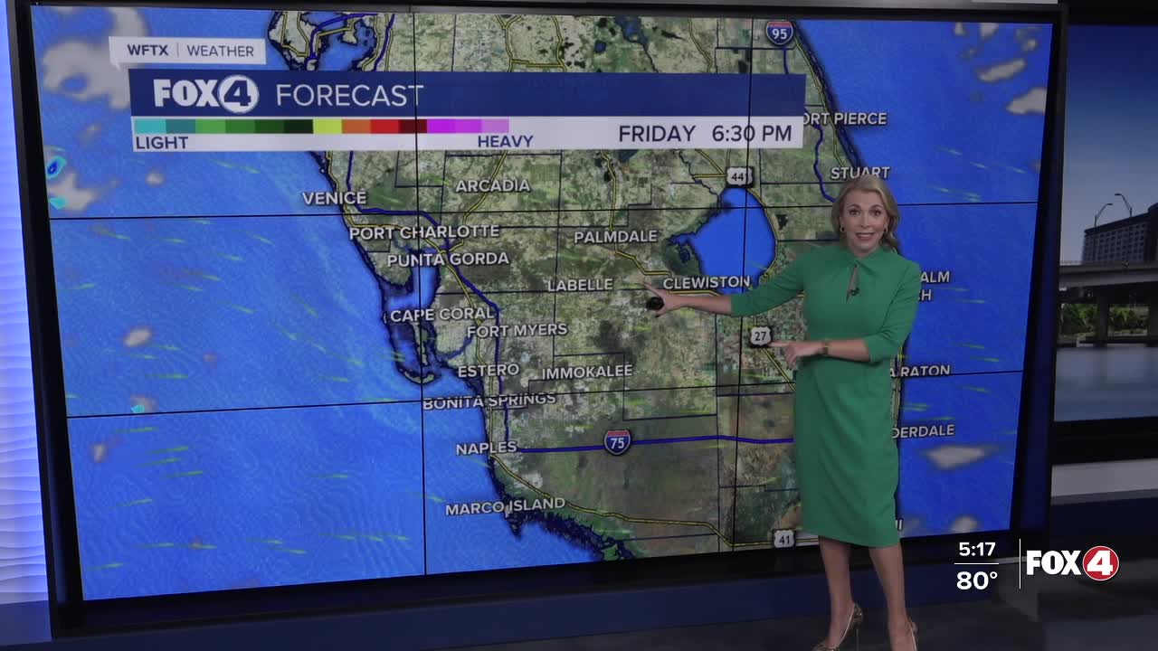


Here is your forecast for Wednesday, October 29th, 2025.
Get ready for the coolest air mass since March!
A strong front will move through early on Thursday, and in its wake, cooler, drier air will filter into SWFL. High temperatures are only expected in the 70s!
It will also be windy following the front with gusts to 30 mph. A Small Craft Advisory is in effect through early Friday morning. We'll also see a threat for rip currents through Thursday and Friday, subsiding Friday evening.
Halloween will start off in the mid to upper 50s across SWFL. With highs expected in the mid-70s, it will be the coolest Halloween since 2012!

Cool temperatures will stick around into Saturday, starting off even cooler in the mid to upper 50s. Highs will stay in the 70s before rebounding into the mid-80s on Sunday.
FOX 4 EVENING METEOROLOGIST KATIE WALLS
If you don't already have our Fox 4 mobile app, you can download it here.
