

Here is your forecast for Thursday, November 27th, 2025.
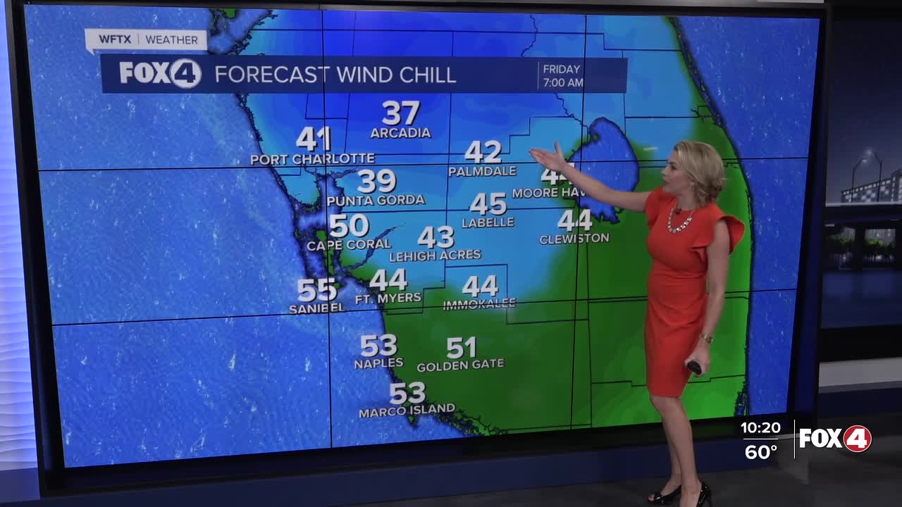
Courtesy of a Thanksgiving cold front, temperatures are plunging tonight.
We'll wake up to lows in the 40s with wind chills several degrees colder in the upper 30s and low to mid-40s.
Clouds will be clearing through the day on Friday with ample sunshine forecast for the afternoon. With strong northerly winds gusting to 25 mph, high temperatures will stay on the cooler side in the upper 60s.
With a wind shift on Saturday, warmer temperatures return with highs in the upper 70s and lower 80s, but it will stay breezy with gusts to 20 mph.
A Small Craft Advisory is in effect through Saturday morning.
Unfortunately, we don't see a significant chance of rain in the 7-Day forecast. We need the rain as Fort Myers is 17.75" behind for the year. Moderate drought has now settled in across SWFL and is expected to get worse without rainfall.
FOX 4 EVENING METEOROLOGIST KATIE WALLS
If you don't already have our Fox 4 mobile app, you can download it here.
