

Here is your forecast for Thursday, January 22nd, 2026.
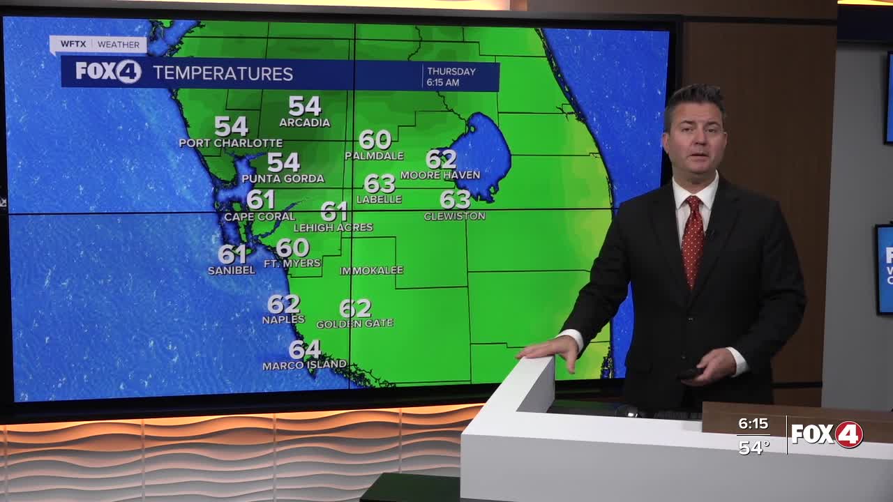
Good morning, Southwest Florida! We are waking up a little cloudy and warmer this morning with temperatures in the mid 50s north of the Peace River and low to mid 60s south through Collier county. Today we will be mostly cloudy at times with the wind out of the east-northeast gusting in the low to mid teens. Despite the cloud cover, we are expected to be even warmer today with highs in the low 80s, which is above our average of 75° for this time of the year.
The clouds will stick around overnight but by sunrise they we start to clear out and tomorrow will be mostly sunny with highs back in the low 80s. While a huge area of the country from Texast to the eastern seaboard will be dealing with a historic winter storm, we will continue to be sunny and warm with highs staying in the low 80s. We will see a cold front slide through Monday and this knock our temperatures back near our averages with overnight slightly below in the upper 40s to low 50s.
Unfortunately, the only chance to pick up some much needed rain will be Monday morning as the cold front passing through and that rain chance is only 20-30%.
FOX 4 MORNING METEOROLOGIST TRENT ARIC
If you don't already have our Fox 4 mobile app, you can download it here.
