

Here is your forecast for Thursday, September 11th, 2025.
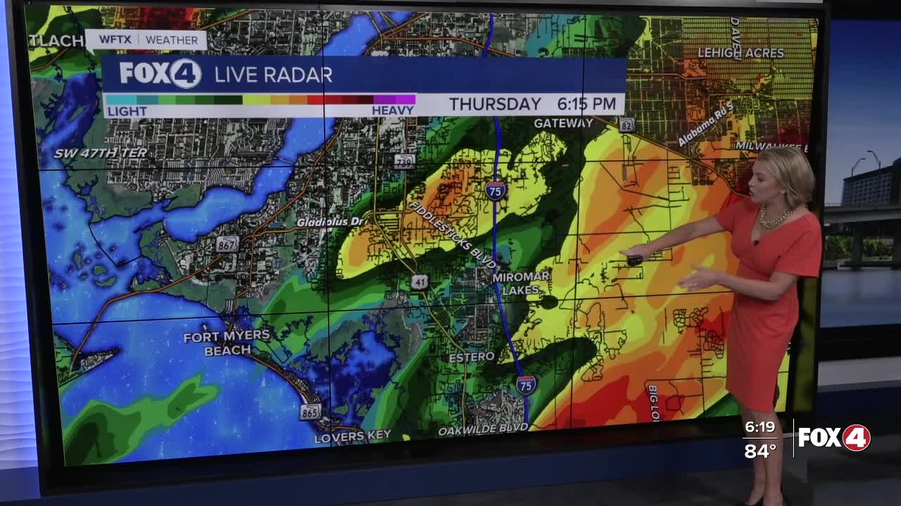
Scattered storms this evening will lose their energy after sunset. By 10pm, radar will be drying out.
We're expecting a mainly dry and partly sunny start to your Friday with lows in the mid-70s. After Noon, scattered storms will be developing with the heating of the day, continuing until around 8pm. High temperatures are expected close to 90° before storms fire up.
The cause behind the active weather? A trough of low pressure has been stalled along the eastern seaboard stretching across Central Florida. At the surface, a stationary front is stalled over us, keeping unsettled weather over SWFL. But, that's going to change.
On Saturday, dry air will be surging south across the state, pushing the stationary front to our south. This will drop our chance for rain and improve humidity levels over the weekend!
Saturday we will see a 30% chance of isolated showers and storms. Sunday will be mainly dry with partly cloudy skies and much lower humidity. Some areas in the northern part of our viewing area could see overnight lows in the upper 60s on Sunday morning, but those temperatures will rebound back up in the upper 80s to near 90° in the afternoon.
FOX 4 EVENING METEOROLOGIST KATIE WALLS
If you don't already have our Fox 4 mobile app, you can download it here.
