

You don't have to worry about fog tomorrow morning! Cooler, drier air is filtering in behind a cold front that passed through SWFL. We'll wake up to lows in the mid to upper 60s.
Gusty winds will be increasing following this front. Plan for wind gusts up to 30 mph Friday and Saturday and up to 25 mph on Sunday. A Small Craft Advisory is in effect through Sunday.
Aside from the breeze, Friday will feature lots of sunshine and highs in the mid to upper 80s.
The humidity will be lower as well with no chance of rain or morning fog Friday or Saturday. On Sunday, moisture starts to return, leading to a 20% chance of an isolated shower or two. By Monday that rain chance will climb up to 30-40% as another storm system rolls through.
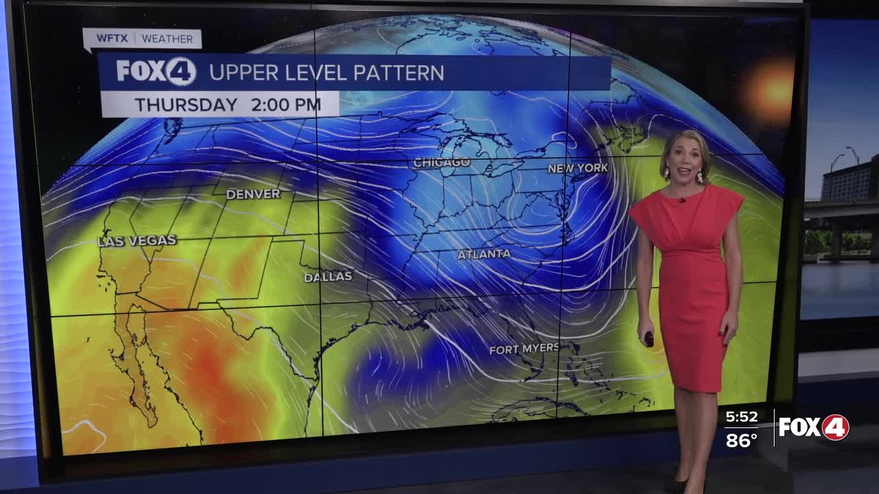
The BIG changes with the forecast arrive on Thursday with the strongest front of the season so far! This will bring a BIG COOL DOWN right in time for Halloween with highs in the 70s and lows in the 50s for some communities!
We are closely monitoring Tropical Storm Melissa in the northern Caribbean, expected to become a Major Hurricane this weekend. Flash-flooding will be a huge concern with this slow-moving system through next week in Haiti, the Dominican Republic and Jamaica.
FOX 4 EVENING METEOROLOGIST KATIE WALLS
If you don't already have our Fox 4 mobile app, you can download it here.
