MONDAY MORNING UPDATE: Subtropical Storm Alberto has held its strength with maximum sustained winds of 65 mph. The storm has slowed down some, now moving northwest at 7 mph. Alberto is expected to maintain intensity as it approaches the Florida panhandle and make landfall as a Subtropical Storm this afternoon between Pensacola and Panama City. The storm will weaken as it pushes inland, tracking northward through the Tennessee Valley tomorrow and Ohio Valley Wednesday. Breezy winds and scattered rain chances will continue in southwest Florida today with a Flood Watch in place for Glades, Hendry, and Collier Counties. Showers are expected to stay widely scattered today with chances around 40%. Winds will stay breezy out of the south 10-20 miles per hour, with a Small Craft Advisory in place over Gulf waters and a high risk for rip currents at Gulf beaches.
SUNDAY EVENING UPDATE: Subtropical Storm Alberto has strengthened some, now with maximum sustained winds of 65 mph. The storm is tracking north northwest at 12 mph. The storm is expected to maintain its intensity as it approaches the Florida Panhandle and could gain enough tropical characteristics to be considered a 'Tropical Storm' before making landfall somewhere between Pensacola and Panama City Monday. Thereafter, the storm should weaken rapidly into a remnant low as it moves north. Impacts for Southwest Florida continue to be minimal through Memorial Day. Outer bands from Alberto could usher in occasional showers and storms, one or two could produce a weak tornado.
SATURDAY AFTERNOON UPDATE: Subtropical Storm Alberto remains rather disorganized in the southern Gulf with maximum sustained winds of 40 mph and is moving north at 13 mph. The official National Hurricane Center track has the center of the storm moving north northeast through Sunday, then turning north northwest before making landfall along the northern Gulf as a stronger system, likely a tropical storm Monday afternoon. While direct impacts are not expected in Southwest Florida, periods of rain will continue through Memorial Day, increasing the risk of flooding. A Flood Watch remains in effect for all of Southwest Florida through Monday night. A Tropical Storm Warning has also been issued for coastal Charlotte and Lee counties, where strong gusty winds are expected on Sunday. However, sustained tropical storm force winds are not expected Sunday with most areas seeing south winds 10-25 mph overnight and continuing on Sunday. Increasing wind shear overnight Saturday will increase the risk of severe storms and one or two brief tornadoes can't be ruled out through Sunday morning.
============================================================================================================================================================
PREVIOUS POST:
Subtropical Storm Alberto near the Yucatan Channel will move northward through the Gulf this weekend bringing with it a large amount of tropical moisture and the threat for heavy rainfall across a large portion of the Gulf Coast from Florida to Louisiana. The potential exists for some localized flooding with heavy rainfall expected in our area from today through Memorial Day, along with a threat for isolated tornadoes and rip currents Sunday into Memorial Day.
CHANCES FOR STRENGTHENING:
Wind shear caused by an upper level level trough of low pressure over the northern Gulf will likely keep the system from becoming a hurricane, although it is not out of the question we could see strengthening to a moderate tropical storm by later Sunday or Monday. Wind shear in moderate to high amounts hinders tropical systems from organizing more quickly. In this case, with Alberto not being fully tropical in nature, processes that normally would weaken a tropical system could actually act to help strengthen it later in the weekend. The latest computer model forecasts keep the system as a tropical storm until landfall near Mobile AL on Monday. Regardless of further development, this will not change the expected hazards to our area.
WHERE IS IT GOING?
Alberto will not directly impact SWFL. The storm is expected to remain well west of the region as it moves across the Gulf. However, wind shear in the upper atmosphere is actually blowing most of the rain to the east of the center. So this track across the Gulf will still put the Florida Peninsula in a favorable moisture plume with the potential for locally heavy rainfall through Monday. We will likely see it make landfall on the northern Gulf Coast from the LA Coast to Mobile AL sometime Monday.
IMPACTS:
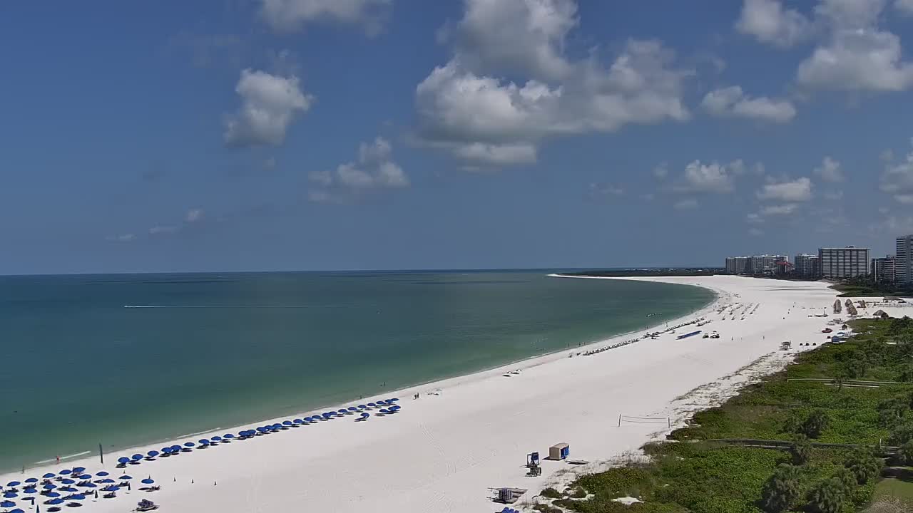
We are still expecting Alberto to mainly be a rain-producer for Florida. Anywhere from 3-5" of rain may fall between now and Tuesday, with some locally heavier amounts where persistent rain bands set up. There will also be an low risk for isolated tornadoes as wind shear profiles in the atmosphere will become more favorable for rotating cells within those rain bands and a brief tornado or two can't be ruled out as these bands move northward. Rip currents will be an issue as well, and it is advised to avoid getting into the water at area beaches this weekend. We could see water rises 1-2 ft. above normal tide levels. Winds shouldn't be a big issue, but it will get gusty near the coast, especially, with some gusts up to 30 mph possible by Sunday.
IN SUMMARY....
Nothing much has changed since Friday, as we still expect a very wet holiday weekend across SWFL. Some of the rain will be heavy at times and given the recent rain in addition to what we may see, flooding will be possible. The highest chances for rain will occur Saturday afternoon through Memorial Day with a gradual decrease in rain coverage by the middle of next week.
*REMEMBER*
DO NOT DRIVE INTO AREAS WHERE WATER COVERS THE ROAD!
We will keep you posted on the latest changes in the forecast throughout the weekend!
FOX 4 CHIEF METEOROLOGIST DEREK BEASLEY